This post will contain maps showing the location of the Hasinai Indians aka the Coenis, Cenis, Senis, Hainai, Tejas, Texas etc in the 1700s. Links are included below each map used in this post.
The Hasinai are considered to be apart of the Caddo confederacy. There are many Texas Indian groups in the confederacy, but the so-called Caddo groups are said to extend from North Dakota thru Nebraska and south to Oklahoma, Arkansas, Louisiana and Texas.

The Senis/Cenis of Florida
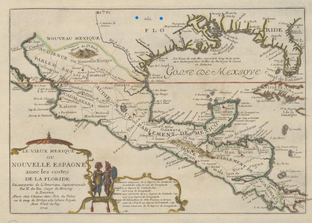
Source: https://texashistory.unt.edu/ark:/67531/metapth50303/m1/1/
Source: https://www.loc.gov/resource/g3300.ma001007/
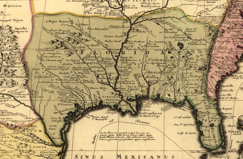
The Cenis and the Cenis River
Source: https://www.loc.gov/resource/g4042m.ct001245/
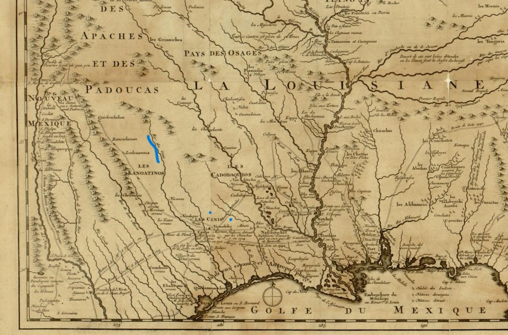
Country of the Cenis
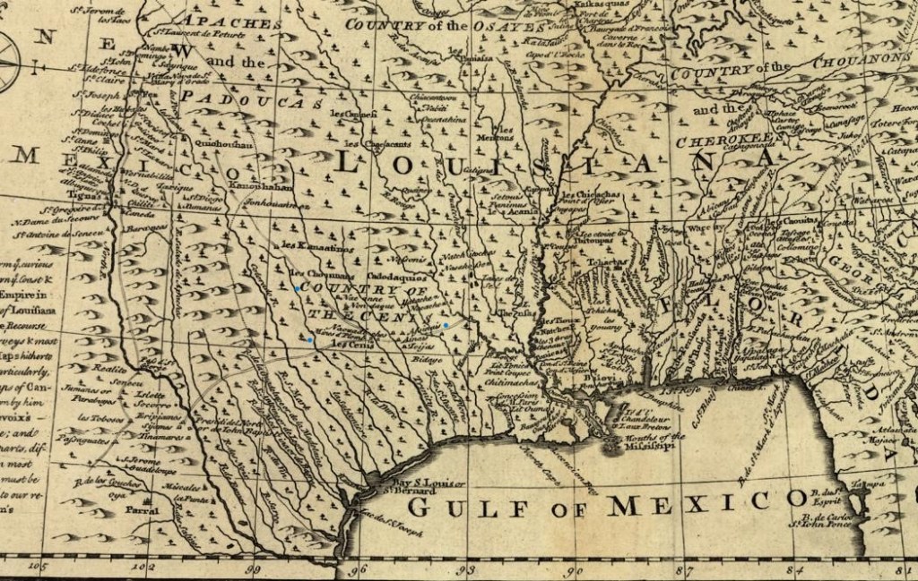
Source: https://www.loc.gov/resource/g3300.ar001201/
Province of Texas in San Luis Potosi
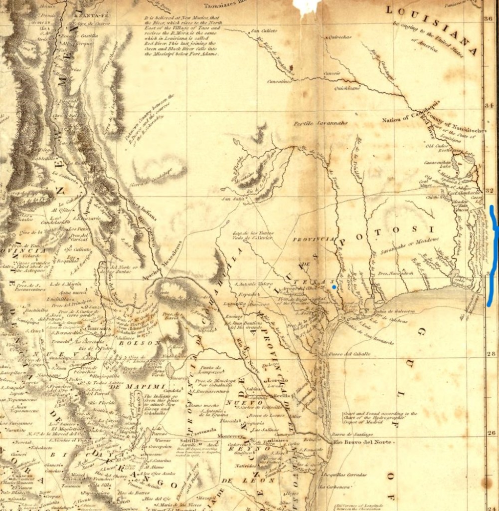
Eastern limits of the Province of Texas or the Intendancy of San Luis Potosi is not acknoleged by the Congress of Washington.
-Alexander de Humboldt
Source: https://www.loc.gov/resource/g4410.ct001485/
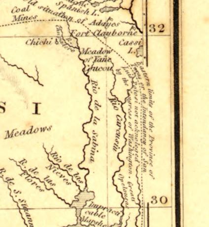
I used these maps because they have some interesting features such as the Mexicanne river now called the Mermentas River in modern Louisiana. Also, the modern Trinity river in Texas was called the Sivoras river and the Cenis River by these map makers. The Hasinai Indians are recorded in the same general location until the takeover of Hasinai homelands by the United States circa 1846, which coincides with the Mexican-American war 1846-1848.
My next post will continue with the Hasinai Indians and the Tonkawa Indians. Peace to you! Feel free to leave any questions or comments!!


Leave a comment